Scientific Cooperation between the Faculty of Planning and Environmental Sciences and the Municipality of Lahijan
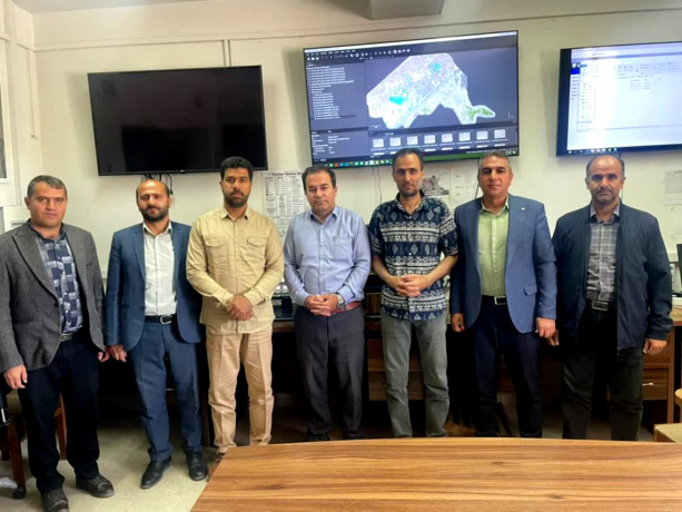
In a meeting attended by the Mayor of Lahijan, the accompanying delegation, and the Dean of the Faculty of Planning and Environmental Sciences, the technical stages of implementing the aerial imaging project of the approved area of Lahijan were reviewed and a report was presented.
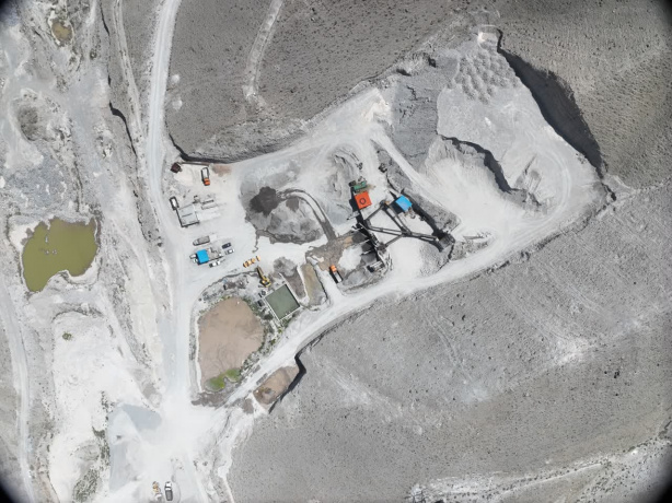
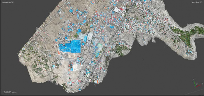
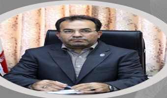
According to the Public Relations Department of the University of Tabriz, Dr. Hashem Rostamzadeh, the dean of the Faculty of Planning and Environmental Sciences of the University of Tabriz, announcing the completion of the first phase of this project, stated: This project was implemented within the framework of a memorandum of understanding with the Municipality of Lahijan and in cooperation with the University's Technology Affairs and Industry Relations Department, and more than 4,500 aerial images were taken using the faculty's dedicated drones.
He added: The images obtained after processing and mosaicking have been delivered to the Municipality of Lahijan. Also, the second phase of the project, which includes drawing and layering infrastructure, structures, land uses, and urban levies, is under implementation and will be delivered to the Municipality upon completion.
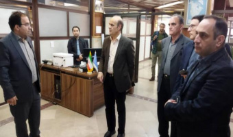
Following the meeting, the attendees, accompanied by Dr. Rostamzadeh, visited various departments, including the Meteorology and Hydrology Laboratory, and examples of projects carried out at the faculty were also presented.


Your Comment :